En

.png) Download ParkUsher Free
Download ParkUsher FreeExplore the Free Accessible Parking Map
Accessible-parking locations have already been part of the ParkUsher app. Now, we are making that information even easier to reach by bringing it directly to the web.
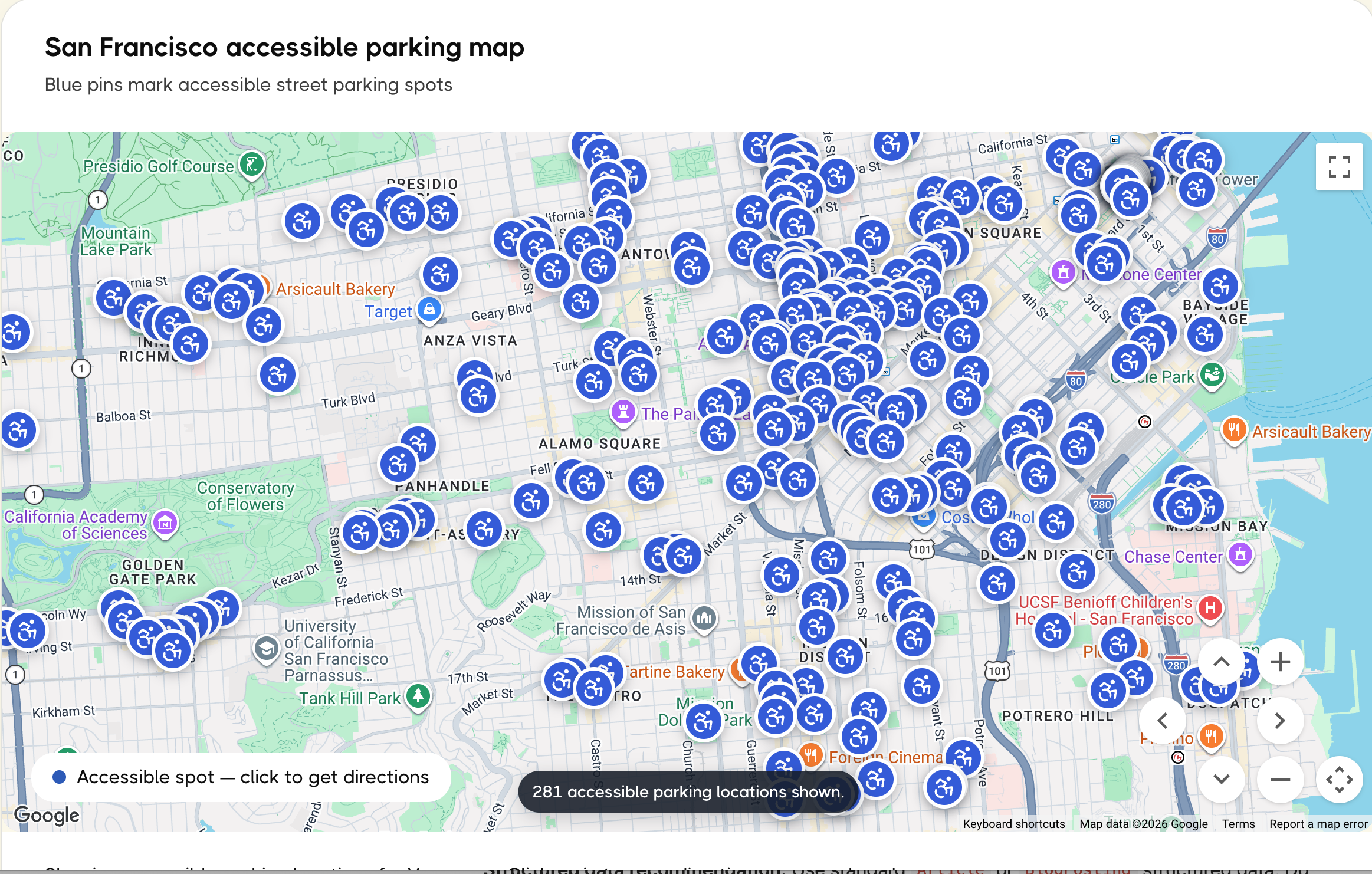
The new ParkUsher accessible-parking webpage has one clear purpose: show you where mapped accessible street-parking spots are located. Open the page, choose your city, find a blue pin near your destination, and send the location directly to Google Maps, Apple Maps, or Waze. In a few seconds, you can start driving there.
No account. No app download. No payment. No unnecessary steps.
That simplicity is intentional. We had already mapped this information, and we did not want it to be available only after someone downloaded an app and created an account. Publishing these locations on the web is our way of removing the digital barriers between someone who needs accessible parking and the information that can help them find it.
The accessible-location webpage is available for Vancouver, Toronto, Seattle, San Francisco, Montréal, and Boston. Accessible-parking locations on the webpage are coming soon for New York City.
To be clear, ParkUsher’s complete New York City street-parking map is already live in the free app. Only NYC’s accessible-parking locations on this new webpage are still coming soon.
The webpage intentionally keeps the experience focused: it tells you where the accessible-parking locations are and helps you navigate to them. It does not replace the complete ParkUsher parking map.
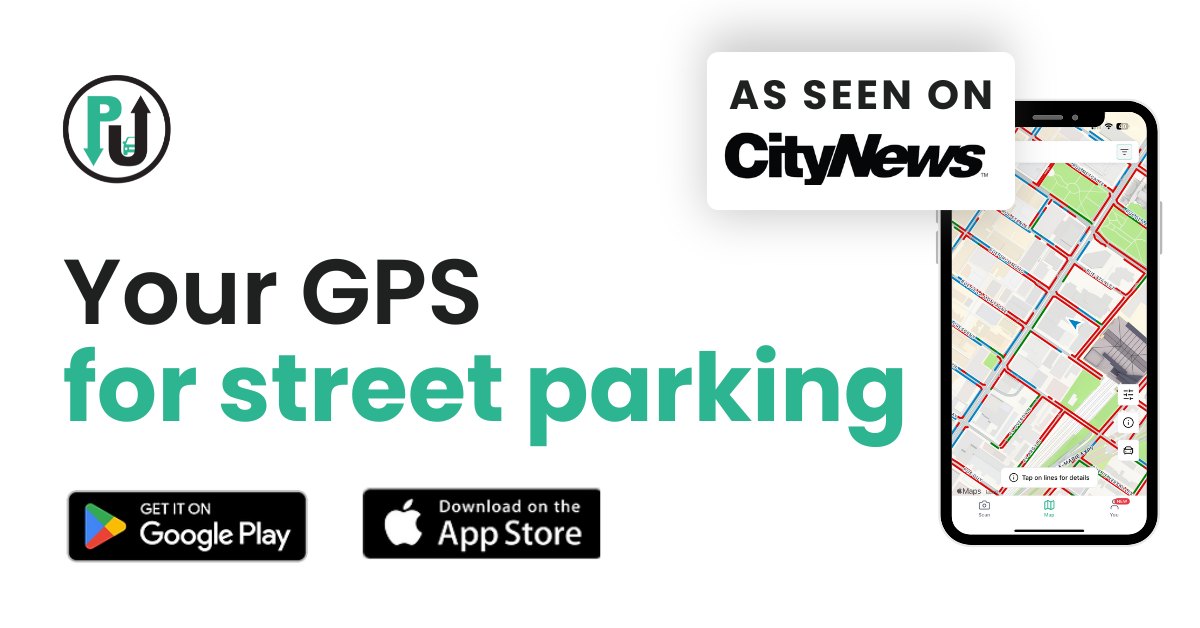
The free ParkUsher app shows the full street-parking picture. Green lines show where parking is legal right now, red lines show where it is restricted, and tapping a line tells you how long you can park or when parking will become available. The app can also remind you when it is time to move your car. ParkUsher Pro adds optional premium features, but the core red and green parking map remains free.
Parking uncertainty affects everyone, but the consequences are not the same for everyone.
For a driver or passenger with limited mobility, parking farther away may not be a minor inconvenience. It can make a trip more difficult, more exhausting, or sometimes impossible. Knowing where accessible parking is located before leaving—or before reaching a destination—can make the difference between a stressful arrival and a more confident one.
Accessible parking information is often scattered across city pages, static lists, PDFs, or separate datasets. Even when the information exists, reaching it can require too much searching. Requiring another download or signup would add one more barrier at the exact moment someone needs a quick answer.
ParkUsher had already done the work of mapping these accessible-parking locations for the app. Bringing that location data to a dedicated webpage was the natural next step: make it easier to discover through a search, easier to open on any device, and easier to use immediately.
The webpage answers one practical question: Where is the accessible parking near my destination?
The ParkUsher app answers the bigger parking questions: Can I legally park on this street right now? How long can I stay? When will the restriction change? When do I need to move my car?
You can start using the map in seconds:
Switching cities updates the map immediately, so you can use the same page at home or while travelling. That is the entire process: open the page, find a spot, send it to your GPS, and go. You do not need to sign in, share an email address, or install anything first.
If you only need the location of a mapped accessible space and directions, the webpage gives you that information immediately. For the complete street-parking picture—legal and restricted areas, timing details, and move-your-car reminders—continue in the free ParkUsher app.
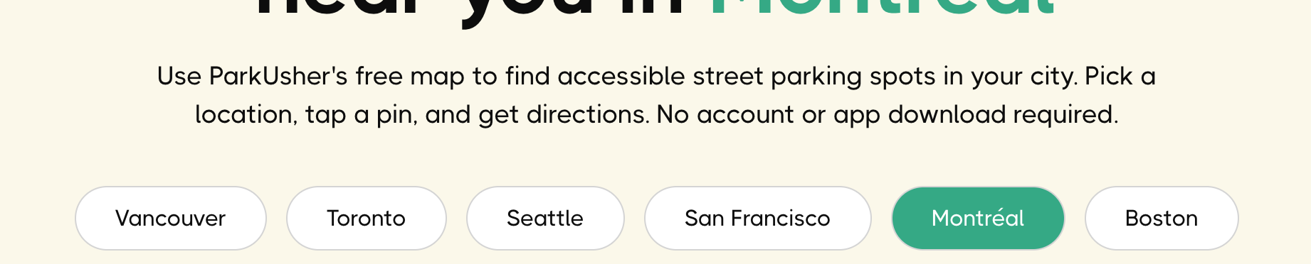
The webpage currently includes mapped accessible street-parking locations in:
For New York City, only the accessible-location webpage coverage is still being prepared. The NYC tab is already visible, and its accessible-parking pins will become available when that location data is ready. ParkUsher’s full New York City map—including its real-time red and green street-parking lines—is already available in the free ParkUsher app.
Our goal is to keep expanding and improving the information so more people can plan trips with less uncertainty.
This is not a separate parking system or a replacement for the ParkUsher app. It is a focused web view of accessible-parking location information that ParkUsher had already mapped.
We believe that information should be easy to reach. That means letting people access it immediately, without asking them to complete another task first.
You can use the map without:
Open the webpage, choose a city, and start exploring. The information is available whether you are carefully planning tomorrow’s trip or already on your way and need an answer quickly.
This is one part of what parking access for everyone means to us: information already available inside ParkUsher is now easier to discover and use, with fewer barriers and fewer steps.
But a blue pin cannot tell the whole story of a street.
Parking rules may depend on the time of day, the day of the week, temporary restrictions, permits, payment requirements, or several signs posted together. The webpage helps you find a mapped accessible-parking location. The free ParkUsher app helps you understand what is happening on the surrounding street when you are ready to park.
With the app, you can:
The two experiences have different jobs. Use the webpage when you need to locate accessible parking and get directions immediately. Use the free ParkUsher app when you need to understand the street around that location and make the full parking decision.
Learn How the ParkUsher Real-Time Parking Map Works
The webpage can help you find a nearby accessible-parking location and navigate toward it, but conditions and regulations can change. A mapped spot may already be occupied, temporarily unavailable, or subject to local rules.
Always check posted signs, curb markings, temporary restrictions, and permit requirements before parking. The webpage shows the location; it does not show whether the space is currently vacant or explain every rule that applies at that moment.
For the broader parking picture, open the free ParkUsher app. Its red and green lines show where parking is legal or restricted in real time, and the line details explain when the rules change.
At ParkUsher, accessibility is part of making parking information genuinely useful.
Accessibility was already built into ParkUsher before this webpage launched. The app’s accessible-parking feature tailors the map for permit holders and marks accessible zones so drivers can find them before arriving. We also introduced Colorblind Mode, with alternative colour palettes that make the parking map easier for more drivers to read.
The new webpage builds on that existing work. It takes the accessible-location information already available in ParkUsher and removes the need to download the app or create an account when someone only needs a location and directions.
We know a map cannot remove every barrier. It can, however, remove one piece of uncertainty before a trip begins. It can help someone check an area in advance, compare nearby options, and navigate directly to a mapped location instead of searching street by street.
The ParkUsher app carries that experience from finding a location into the moment you park. Together, the webpage and the free app provide a clearer journey: locate accessible parking in seconds, navigate there, understand the surrounding street rules, and park with more confidence.
Parking information changes, and the people who use these spaces understand the real-world experience better than anyone.
If you notice missing, outdated, or incorrect accessible parking information, please contact ParkUsher. Your feedback helps us improve the map for the next person who needs it.
Accessible parking information should be available when people need it, without an account or download standing in the way. Now, in six cities, a mapped spot and directions are only a few taps away.
Find Accessible Parking Near You
Once you find a location, download ParkUsher free to see the red and green street lines, timing details, and move-your-car alerts that help you make the complete parking decision.
Yes. The webpage is free to use, with no account, payment, or app download required. The core ParkUsher map inside the free app is also available without ParkUsher Pro.
The accessible-location webpage currently covers Vancouver, Toronto, Seattle, San Francisco, Montréal, and Boston. Accessible-parking pins for New York City are coming soon, but ParkUsher’s complete NYC street-parking map is already available in the free app.
Blue pins mark mapped accessible street-parking locations. Tap a pin to view navigation options.
Yes. After selecting a blue pin, you can open directions in Google Maps, Apple Maps, or Waze.
No. The map shows the location of a mapped accessible parking spot, not whether it is currently occupied. Always check the space, posted signs, temporary restrictions, and local permit requirements when you arrive.
Permit requirements vary by city and location. Check local rules and the signs at the parking space before using it.
The webpage shows where mapped accessible-parking locations are and lets you open directions. The free ParkUsher app shows the complete street-parking map: green lines for legal parking, red lines for restrictions, timing details, Driver Mode, and alerts that tell you when it is time to move your car. ParkUsher Pro adds optional premium features, but the core red and green map remains free.